
Several of our Skipton Stitchers members have done on-line embroidery courses with Zara Day and they’ve always enthused about them so one of them mentioned she had just signed up for her cartography course I decided to check it out.
I’ve always loved maps, even as a child I could sit for hours looking at or drawing maps. I’ve been mulling over an embroidery idea for a map of the Yorkshire dales for ages, so I’m hoping this will help. It’s a six week course with about an hours online course each week, not bad for £45 I think so I signed up straight away.
We had our first live session this week, we were stitching routes on printed maps. She showed us how to do a screen shot and crop it for printing, turns out it’s very simple even for a non-techy person like me! Zara shared with us her thought processes for different maps she has worked on or incorporated into what I would call textile art.
We have two bits of ‘homework’ this week and I’ve just finished the first one…
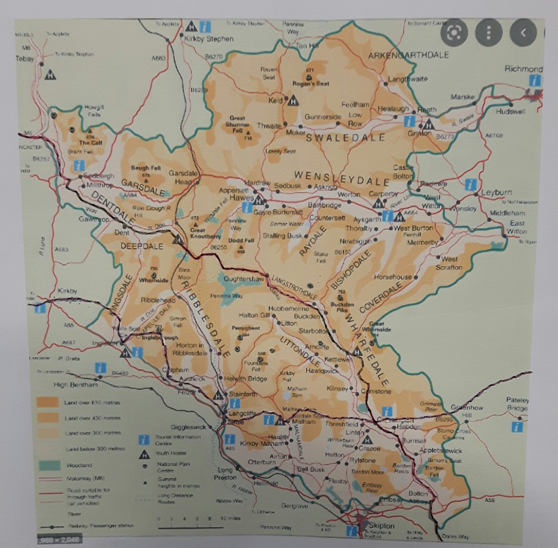
The hardest bit was choosing an area and finding a suitable map, obviously I wanted an area that means something to me that I can also find a suitably sized map for! I decided to do a walking map, originally thinking of one which would cover all the long distance walks my friend and I have done, but that would involve a map covering all the north of England and the lower end of Scotland. I settled on a map of the Yorkshire Dales National Park and got my OH to print it off in colour.
As instructed I ironed some interfacing onto the back of the paper, I used a cotton based one as I felt that could make a better stitching base than vilene.
Conveniently the Dales Way route was already marked on the map so all I had to do was back-stitch along it. Zara recommended back-stitch, or stem or split stitch. I like split stitch generally but I thought that would weaken the paper more as there are two holes right next to each other so I used back-stitch. I chose a variegated purple as all my walking gear is either purple or teal!

Having stitched along the Dales Way, I plotted the route of the Bay2Bay walk. This is one we did over two years as the guide books started at Grassington and then walked either way to the coast, so one year we did the 100 miles east from Grassington to Barrow-in-Furness and the following year we did 100 miles west from Grassington to Robin Hoods Bay. I stitched in purple the route across the National Park/ though maybe plotting it with a silver pen wasn’t a great idea!
Over the last 18 months we’ve also been doing the Dales 30 challenge, aiming to climb all 30 mountains within the National Park, so I used French knots to mark the mountains we have climbed so far. I tested one out on the side first as I wasn’t sure how well French knots would work on paper but they sat neatly on the top rather than pulling through to the back.
Here’s my finished map…
With hindsight I think a brighter thread for both routes and mountains may have been better, even staying with the purple colours it would just have shown up a bit more, but that’s why you do these courses and practise pieces, to learn and develop your own style. All in all I’m pretty pleased with it.
Zara does lots of different embroidery courses, if you’re interested I’d suggest following her on instagram or e-mail her to be added to her mailing list.


Fascinating, Margret. I will enjoy seeing your progress. The idea of adding interfacing to the back of the paper is inspired!
LikeLiked by 1 person
It sounds like an interesting course. I have started following Zara on Instagram – thank you for the link. Looking forward to seeing what you do next.
LikeLiked by 1 person
Very clever and great that you could choose a map with locations personal to you. Looking forward to seeing what comes next
LikeLiked by 1 person
What a lovely record of your treks. I’ve done three courses with Zara and they’re usually packed with ideas.
LikeLiked by 1 person